Tour du Mont Blanc - 3 countries in 3 days
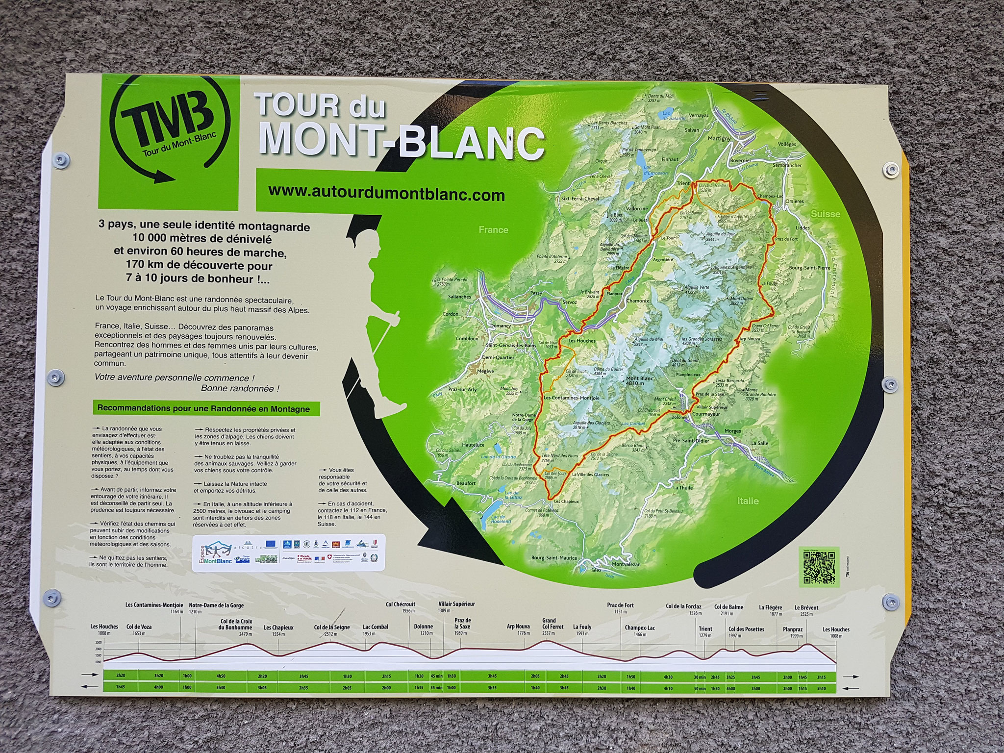
The Tour du Mont Blanc is a roughly 170 km long alpine trail with ~ 10.000 meter elevation around the massive Mont Blanc and through three countries - France, Switzerland and Italy.
It's no wonder, that this hike is listed in almost every Top Ten, Bucked or Must do Hiking list.
For trail runners it's famous because of the "championchips" of trailrunning the UTMB - Ultra trail du Mont
Blanc, which leads every year around end of August/beginning of September the best trail runners to the trail mekka town of Chamonix.
Unfortunately, the dream for most of the trail runners is by now pretty commercialised, and also complicated to get the qualification points - it almost takes two years and cost a lot of money -
(UTMB - von Punkten, Steinen und Profit).
Instead I decided another time, to run but still have time to enjoy a trail, so my goal was to do it in a solo mix of of fast tracking, hiking and running.
It's easy to get to Genf and I'm pretty lucky to have a friend there to leave my computer and not needed stuff. From there it's easy to take a bus or a ride to Chamonix.
Chamonix is defined by outdoor tourism, wether people who want to climb Europe's highest mountain (since 2019 you need a permit - another unpleasant fact, I had to realize), for trail running,
climbing or hiking or just enjoying the outdoors, you will meet them all and also sport shops for all these hobbies.
I bought a green sleeping bag, my first ever running poles, a 20 L bagpack and a map Tour du Mont Blanc and stayed two nights in Chamonix.
Yes, of course Chamonix is expensive and especially two weeks before the UTMB overbooked, so some tips for backpackers or low-budget runners/hikers.
Free wifi and a toilet: Next to the tourist office.
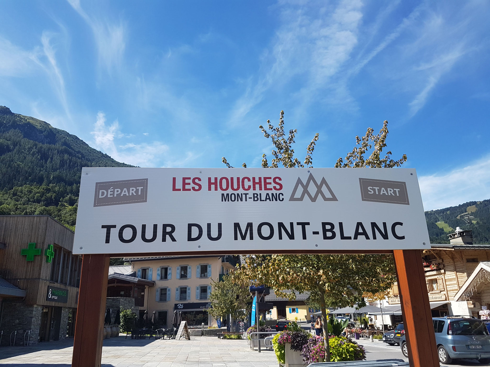
Sleeping place: There is a campground in Les Houches, a town 5 km away and official start for the TMB (Tour du Mont Blanc). The bus back from Les Houches is by the way for free if you're not
asking because most of the people pay a day pass in Chamonix for 3 € - got this info from a local.
On the parking lot next to the roundabout parking a lot of campervans and apparently a lot of people are sleeping there and bivy in the forest behind was absolute no problem and it's close to the
town.
I was all the time not sure how light I want to go because of the weatherforecast, the unpredictable weather in the mountains in general and the hut situation. I haven't booked huts before and it
was high season.
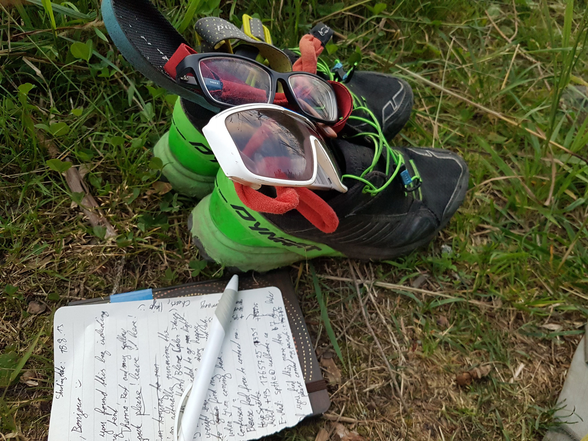
Cause I still wanted to run I decided for the 20 l bagpack and just taking my bivy bag, sleeping bag and an emergency blanket with me - leaving the tent and the Therma rest and my bigger bagpack
in Chamonix. Actually you can storage your stuff for 2€/day in the mountain guide office - not official but I asked me through. In the end, I just hide my stuff secured in a black garbage bag in
the forest, which is always a good way paired with a message and my phone number, so I would have my stuff when I would arrive late.
Start Sunday 7 am luckily Johanna, my friend from Genf joined me for the first part and we had fantastic, maybe a bit to hot weather.
The more common route is to start in Les Houches and going south to Contamines and Italy. Mainly, because Johanna had to catch the train back to Geneve in the evening, we decided to go the other
way around - north in direction Trient, which appeared to be a good idea (both ways are official and marked!)
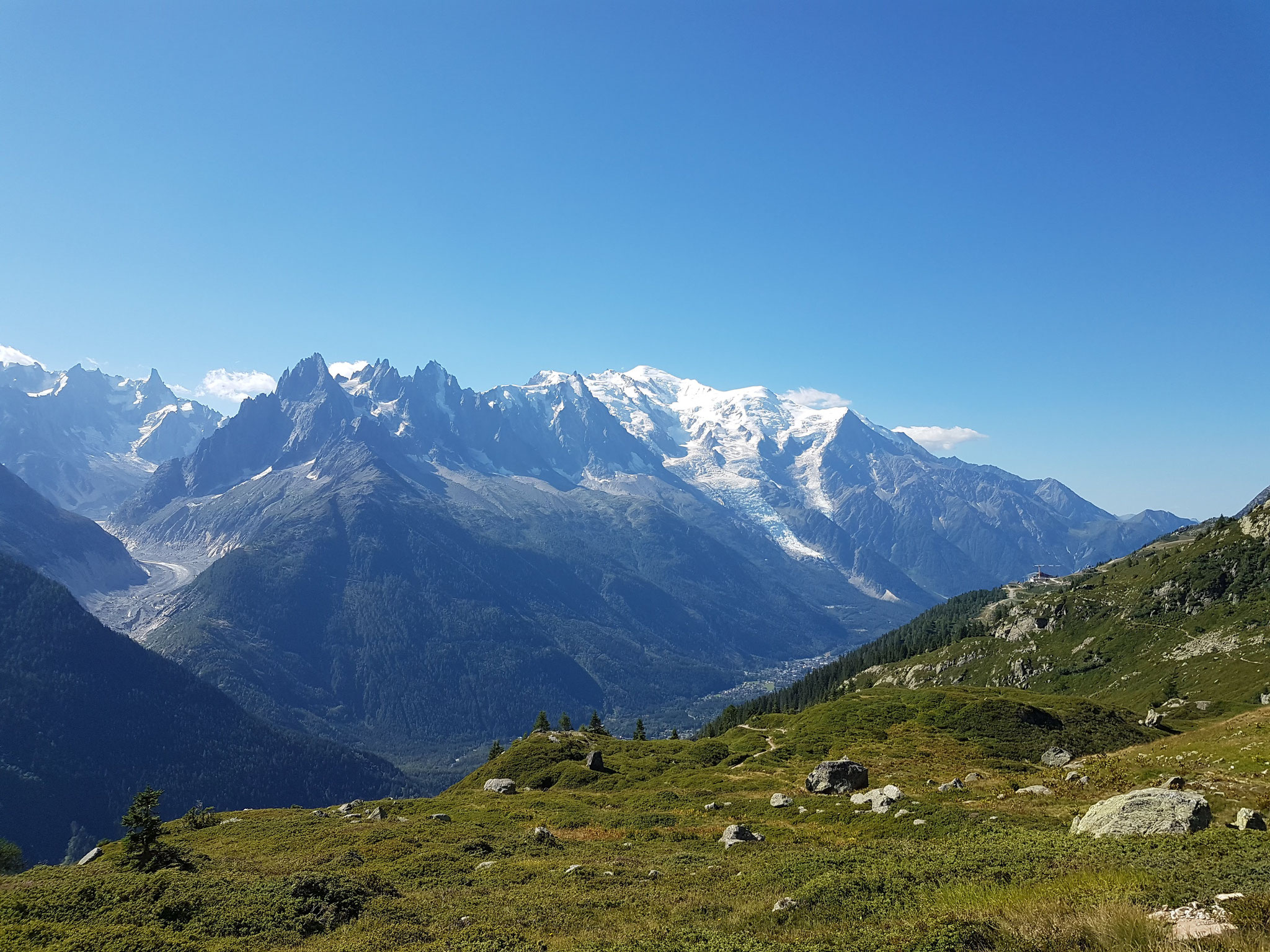
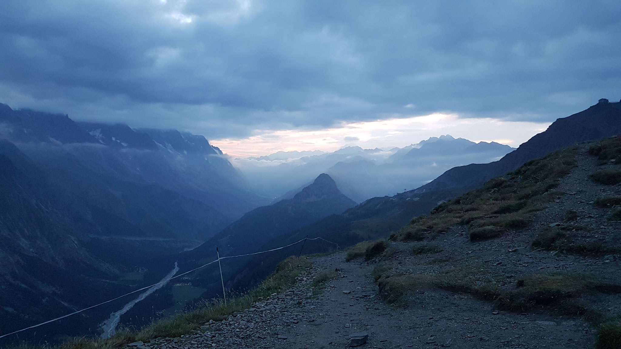
From Chamonix we took a trail up to La Flegere on the official trail, which took us with 1000m meters almost 2 hours.
The trail was really full and to go against the crowds helps to say friendly "Hello" and not always rush from behind. The first part has even some chains and ladders to "climb" and was technical
to "run".
Somehow we started still too slow and decided to take the alternative route to Vallorcine instead of the official (there are many alternative routes beside the "real" TMB) over two passes to
Trient, because Johannna's last bus would leave at 5 pm.
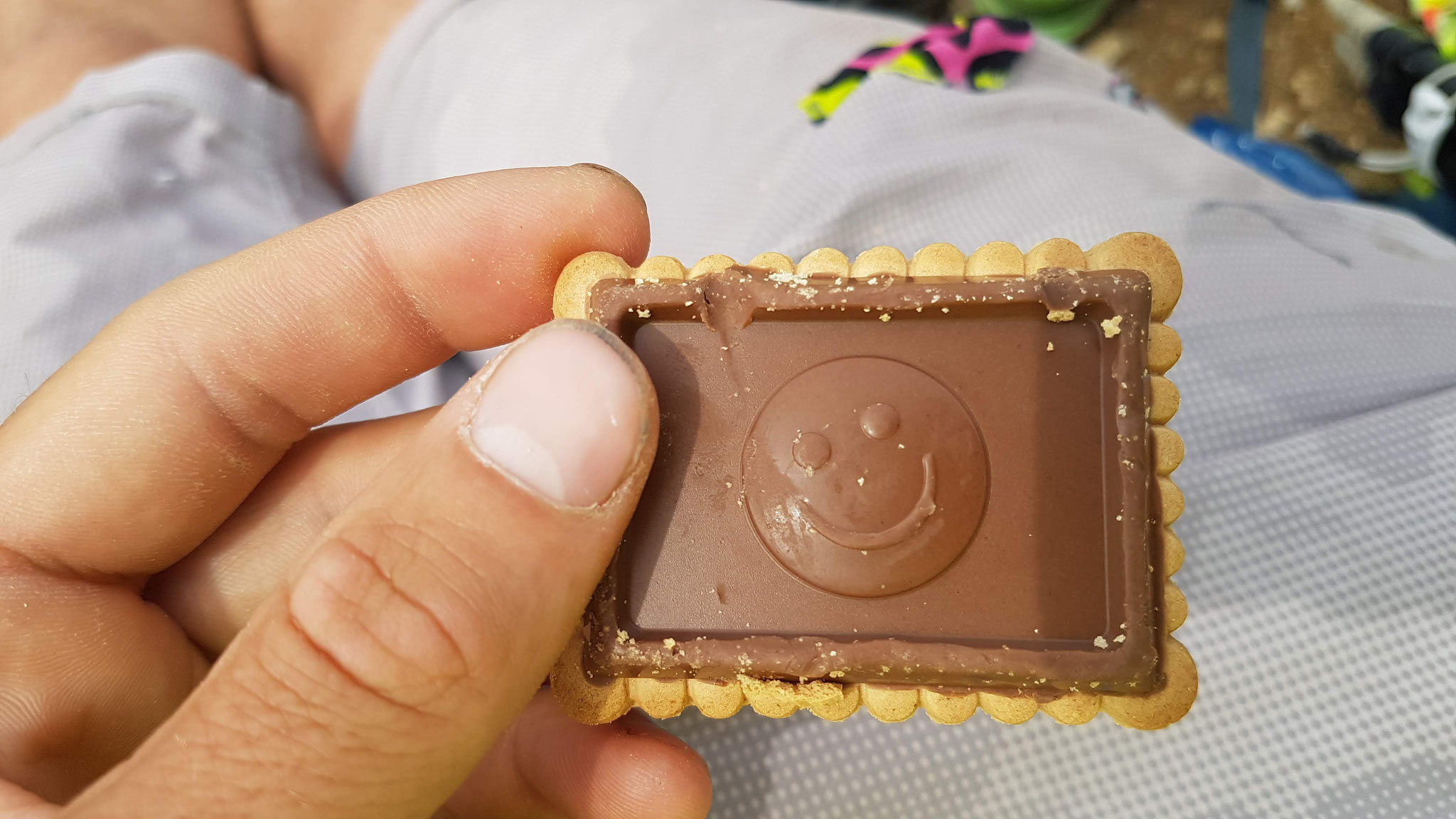
We ate something in Vallorcine and I ate a lot of salt out of the salt shaker in the restaurant - just realized I forgot salty food beside my gummi bears and chocolate.
Johanna joined me to the border of Switzerland and then I continued alone. From 7-9 pm I took a nap to be prepared for running through the night - I always want to try that and thought sleeping
would be could anyways and sleeping the next morning would be nicer, but...
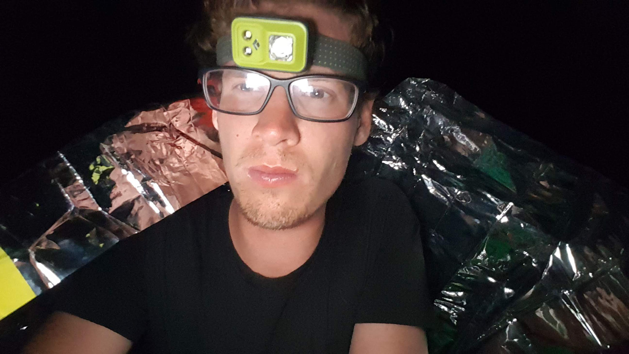
...The weatherforecast was right and ca. 2 hours before Champex and around 11 pm the thunderstorms, which already have circled me slowly the last hour, hit me.
I hide into my sleeping bag, bivy bag and emergency blanket but the sky just opened its doors completely and I got soaked and strong thunderstorms came after each other always when I thought its
over for the full night. It was a hard and really wet night but positively I tried my emergency blanket the first time after carrying it for many years and even I was really wet I was still
warm.
Around 6 am the next morning I continued really tired to hike in the rain and reached the campground of Champex around 8.30 am, where I found alot of non-motivated hikers planning what to do -
just hearing the next two days it would be probably rain through.
I decided to take a break - it wouldn't be fun in the rain - I visited friends in Brig for the next two days. There we did a rainy hike and played board games and I recovered and slept a
lot.
On Wednesday I took a train at 4am back to Orsieres. In the morning it was still raining and I was still tired, so I skipped another probably boring and flat part and took a bus to La Fouly,
where I started again at 8 am, finally.
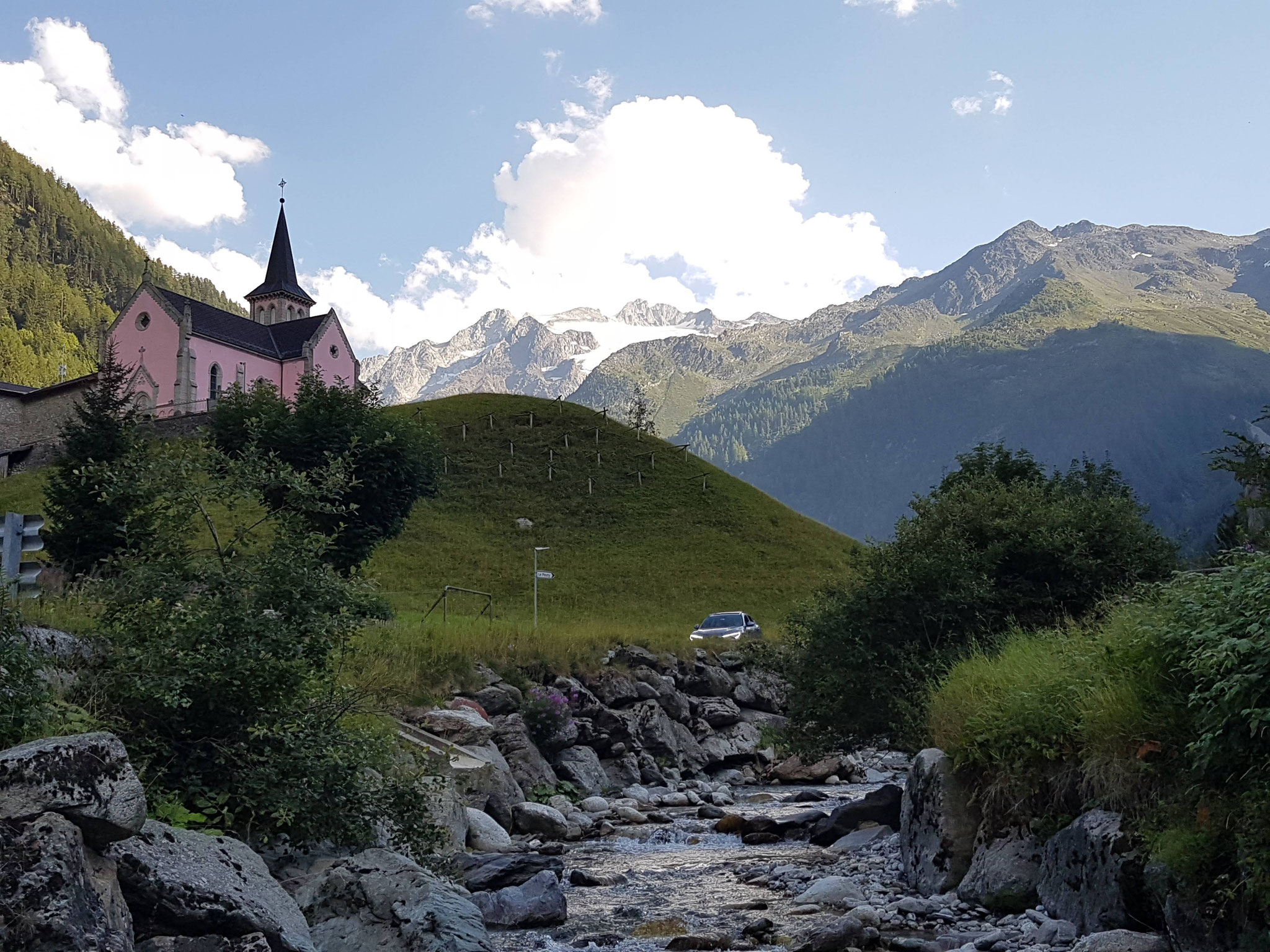
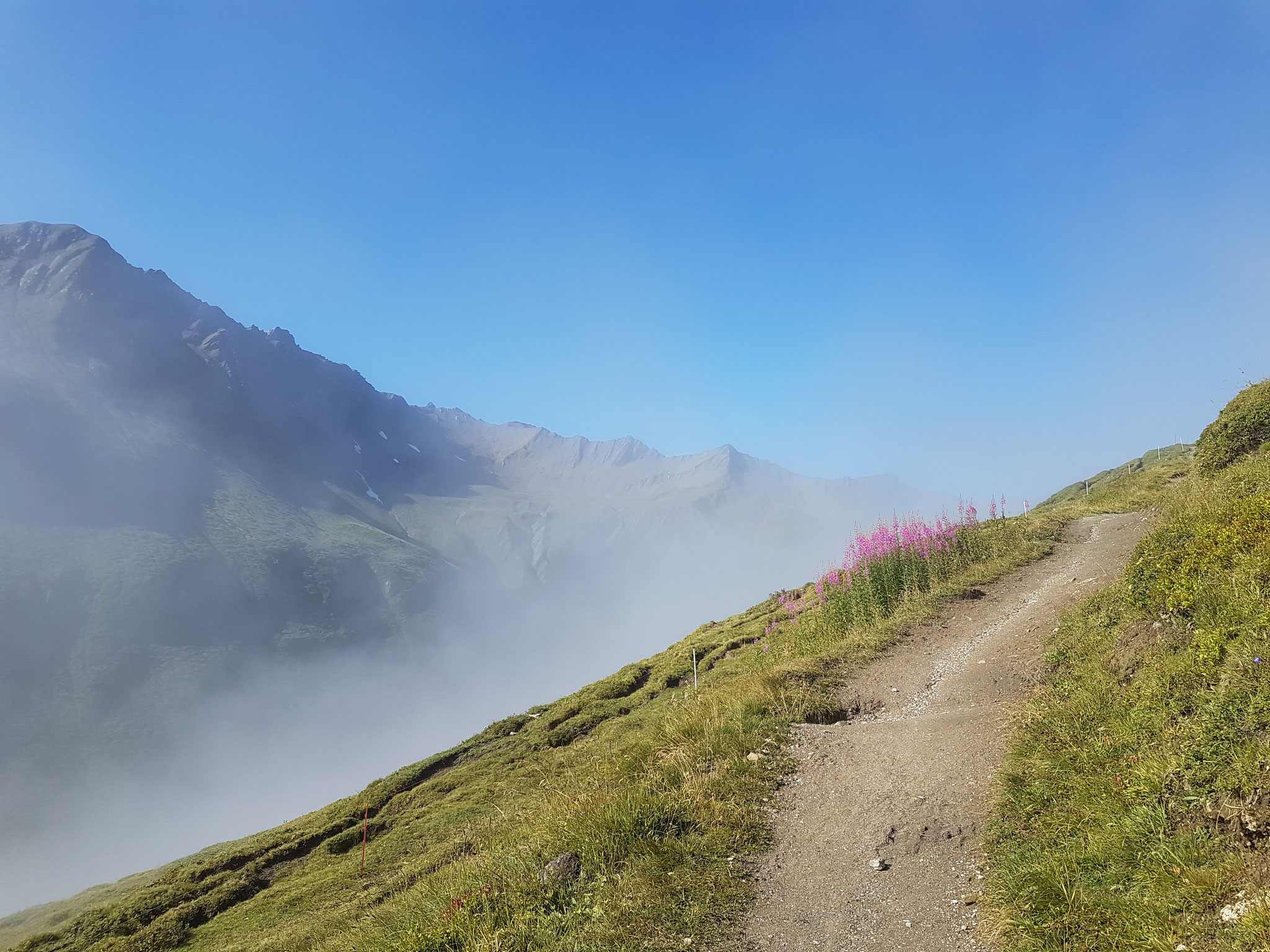
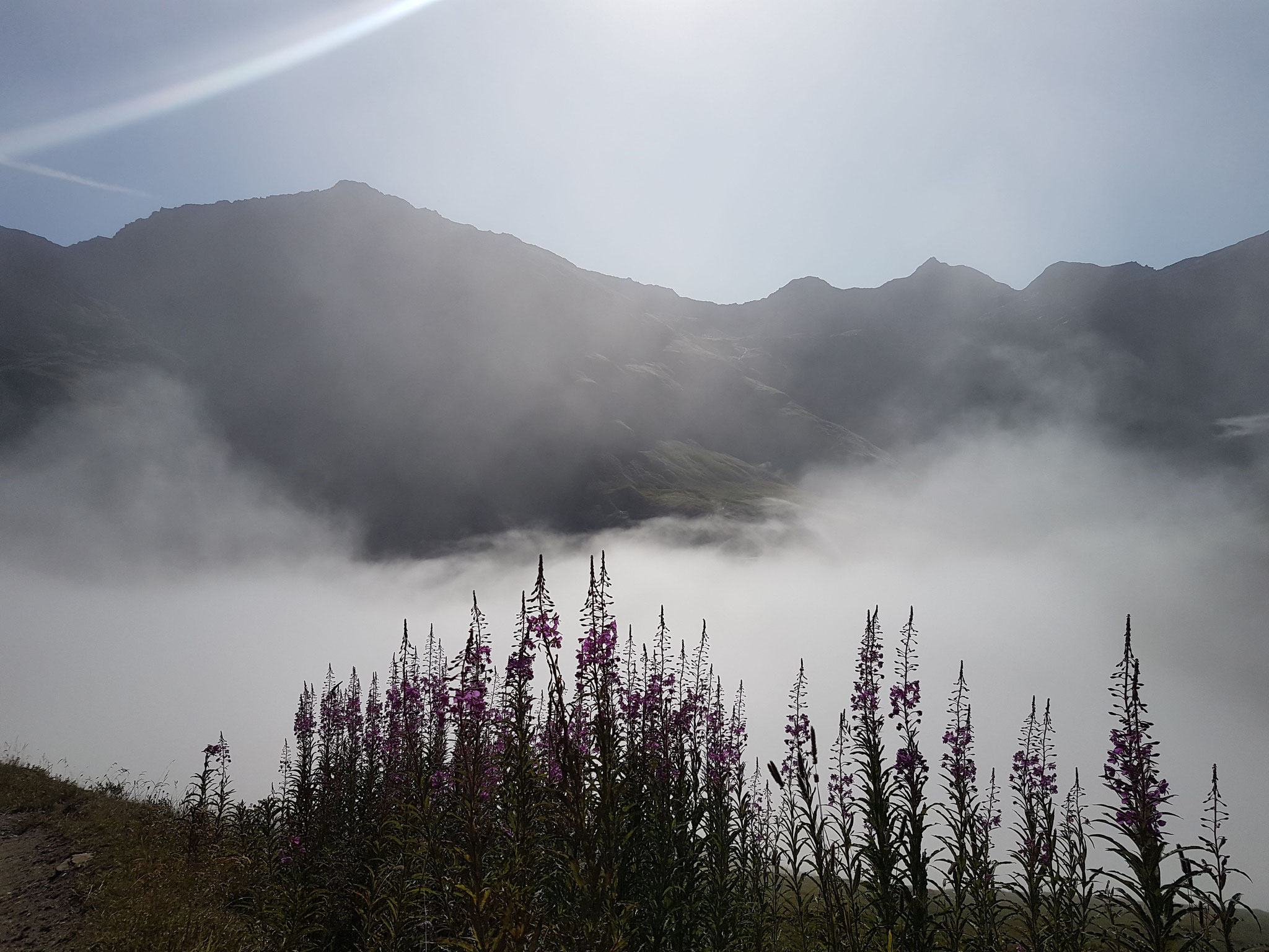
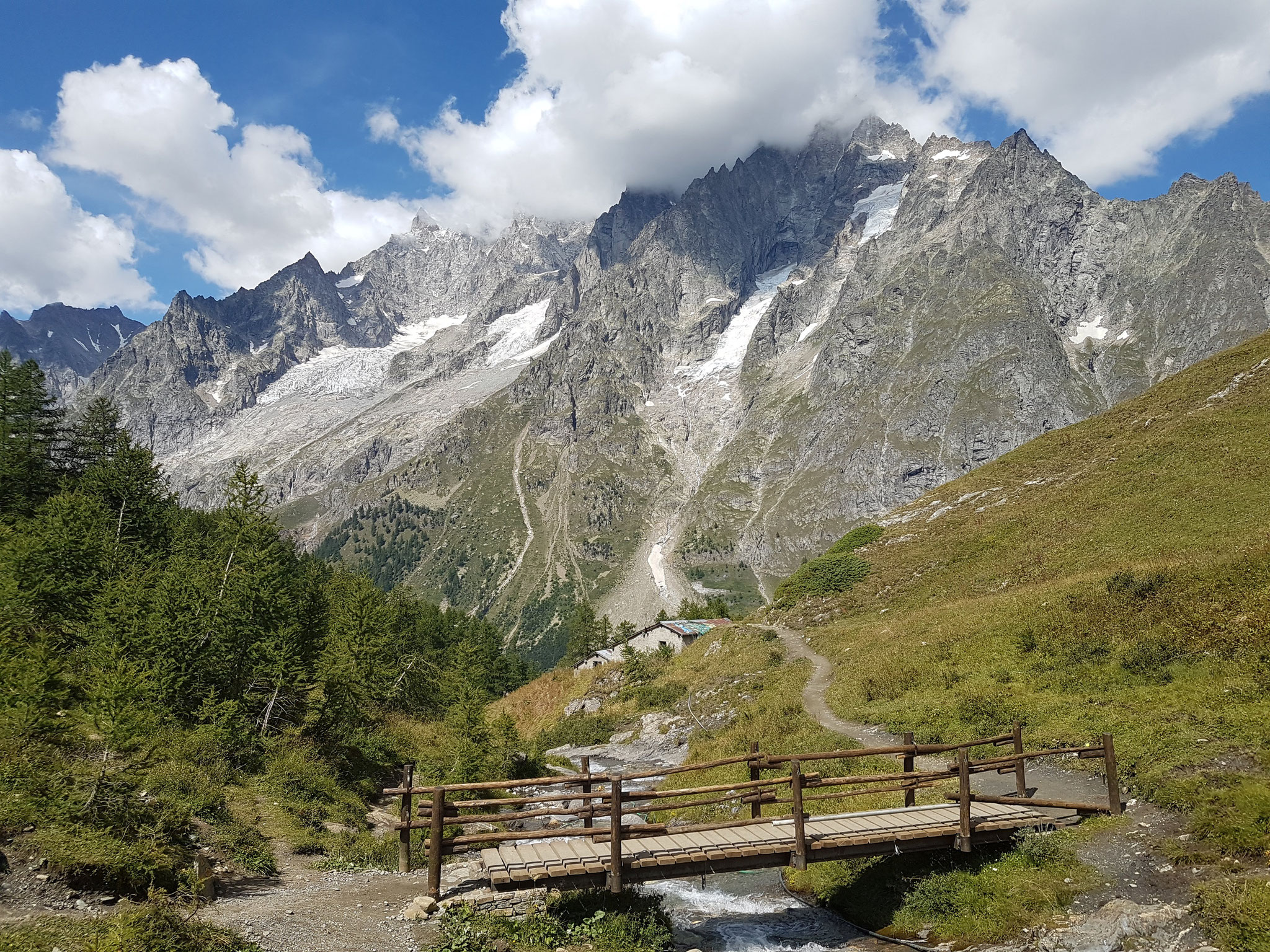
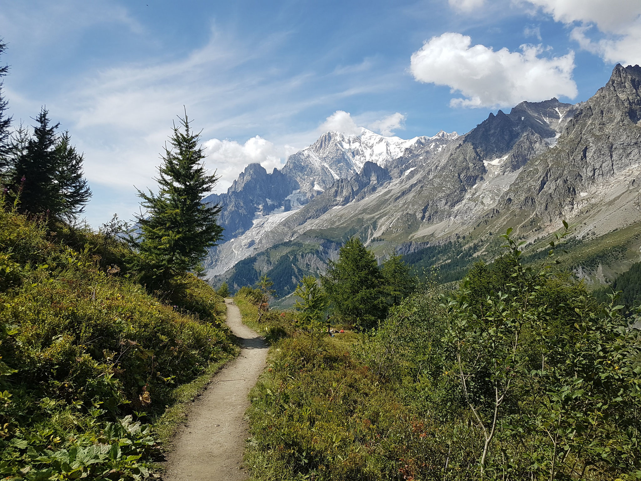
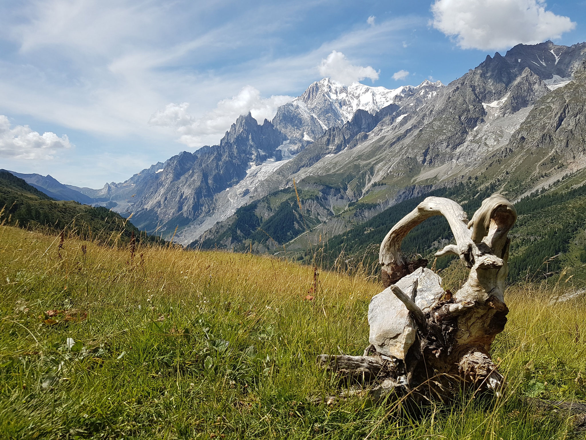
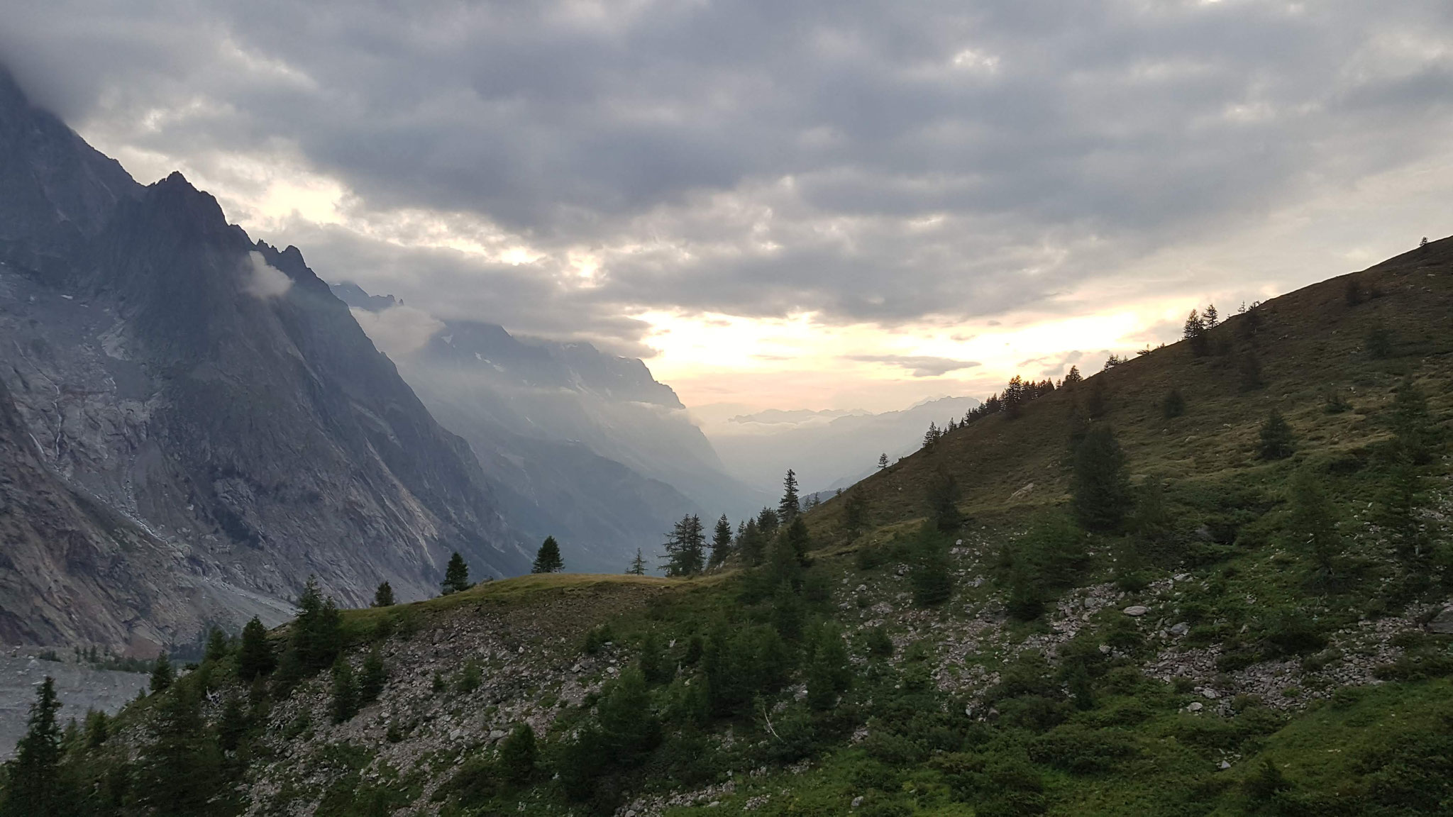
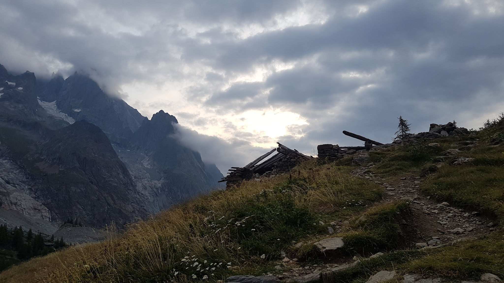
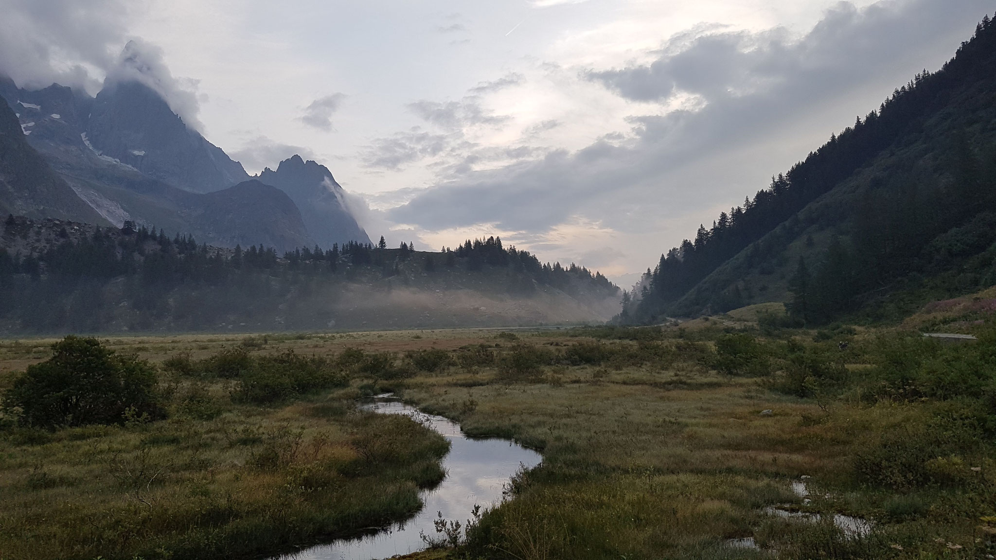
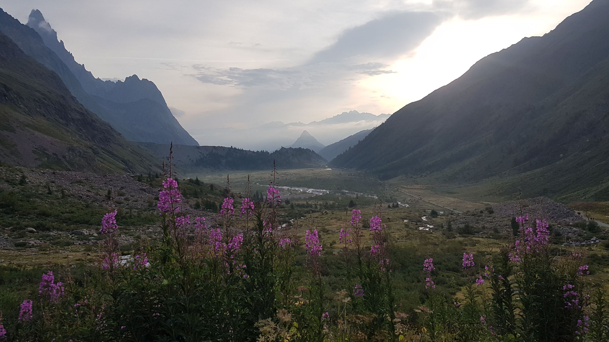
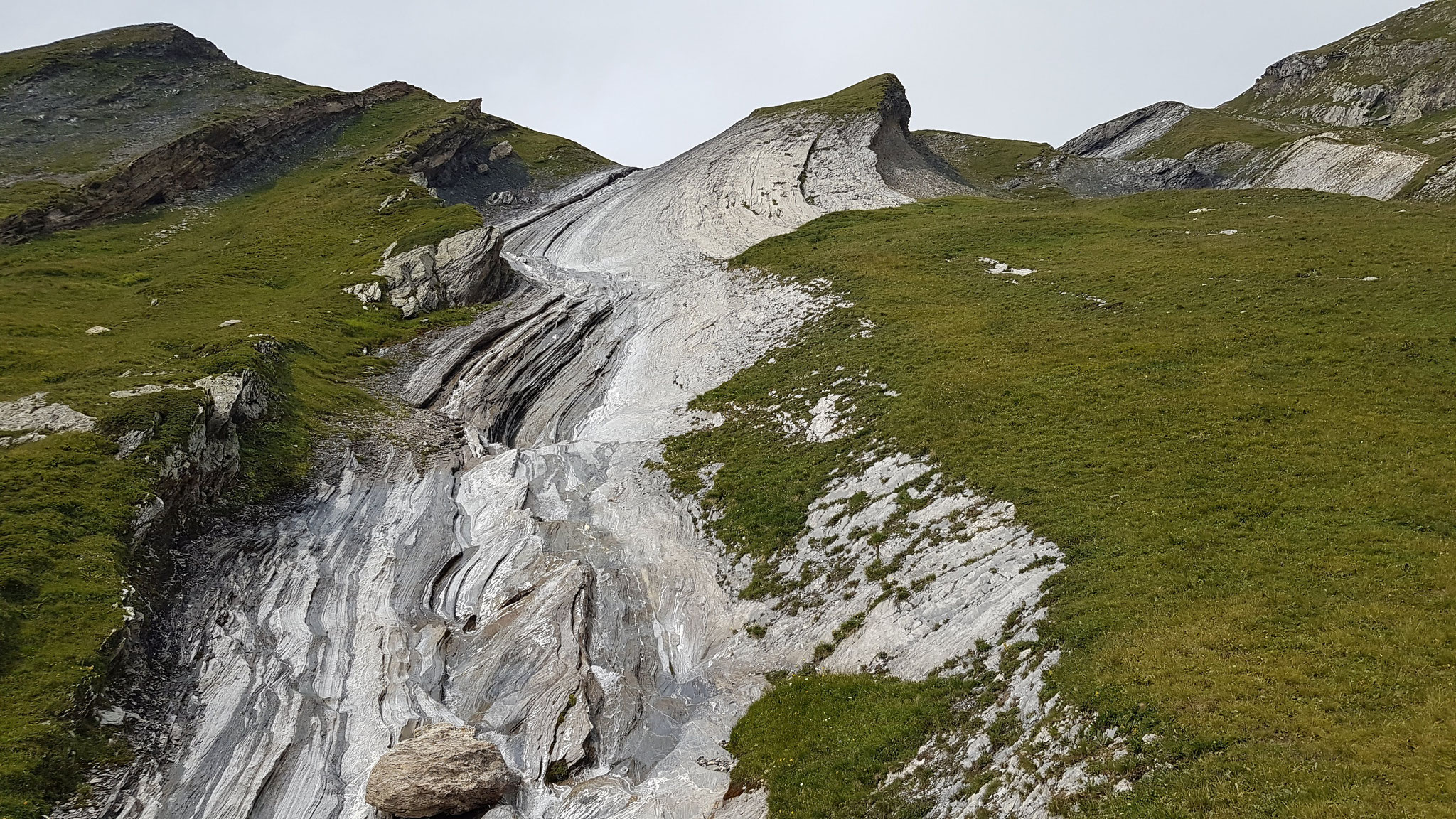
It became a wonderful day and I enjoyed the uprising sun and inversion weather hiking up the Col du Grand Ferret and border to Italy.
It's always hard to say to have a favourite part of a hike. Parts are just different and it depends on the weather your mode and other cicumstances but the trails from the Italian border to
Courmayeur were really beautiful, not as technical and just always along the Incline, just super nice to run with a beautiful panorama.
In Courmayeur I got a typical good Italian Icecream and a for Italian standards disappointing pizza and filled up my proviant with cookies, chocolate and a pizza bread. The signing in Courmayeur
wasn't unfortunately not so good and it took a while to get back on track, also goes the first part up along ski lifts, so it was not so beautiful and then it also got dark and cloudy
again.
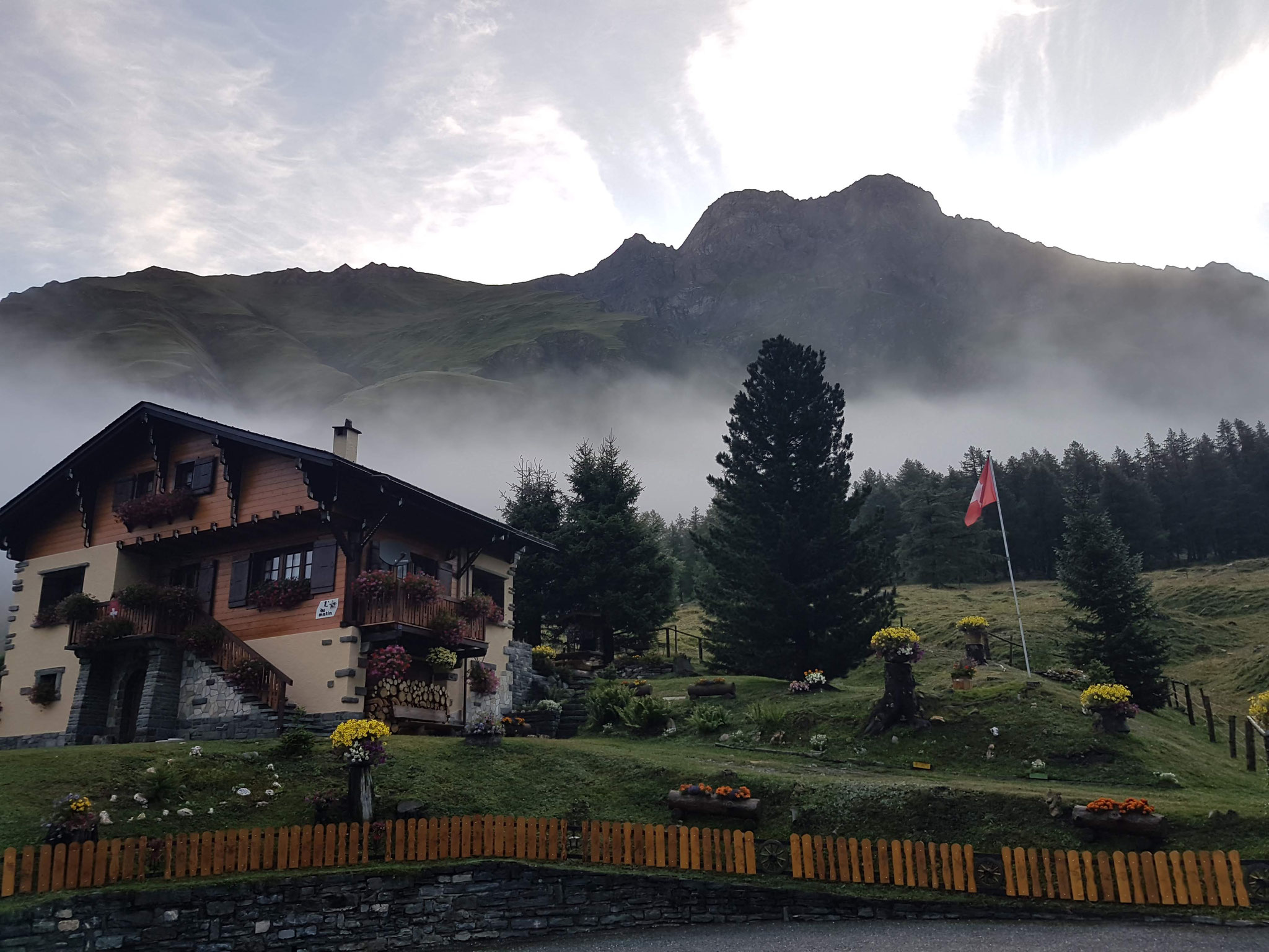
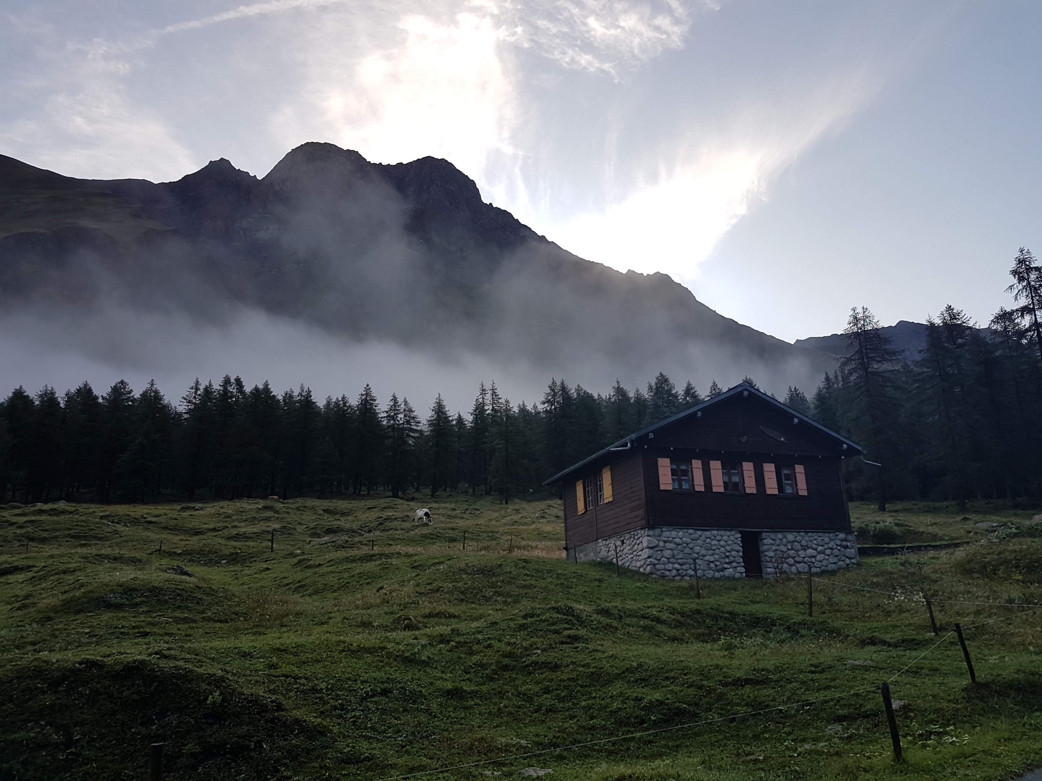
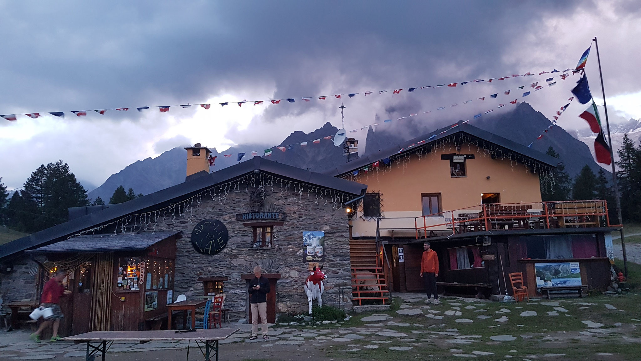
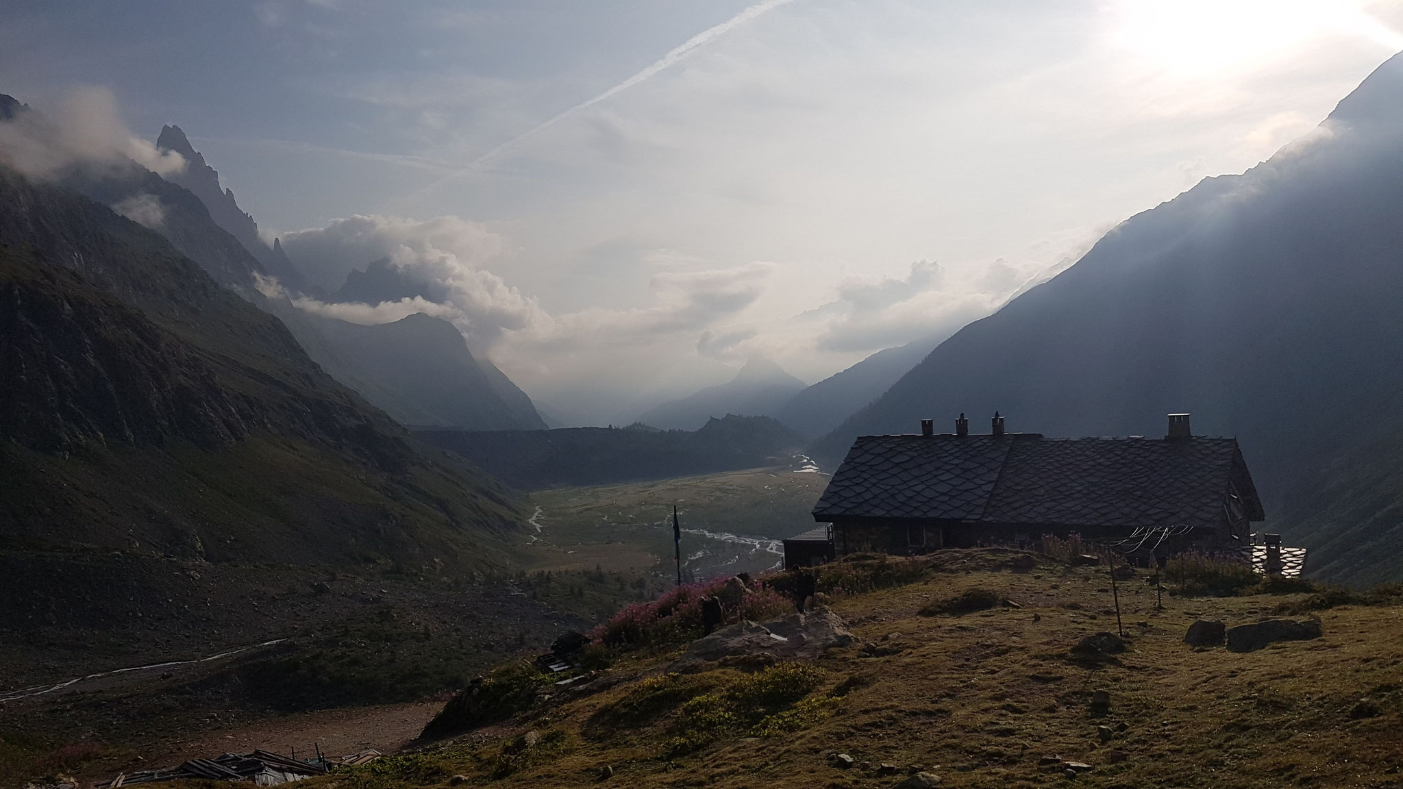
I stopped way too early, around 7 pm, at a cute refugio with mini ponies in front and reffered to the hut list for 25€ for a bed in a dorm one of the cheapest huts on the full track.
I slept not really good and started again at 4.30 am.
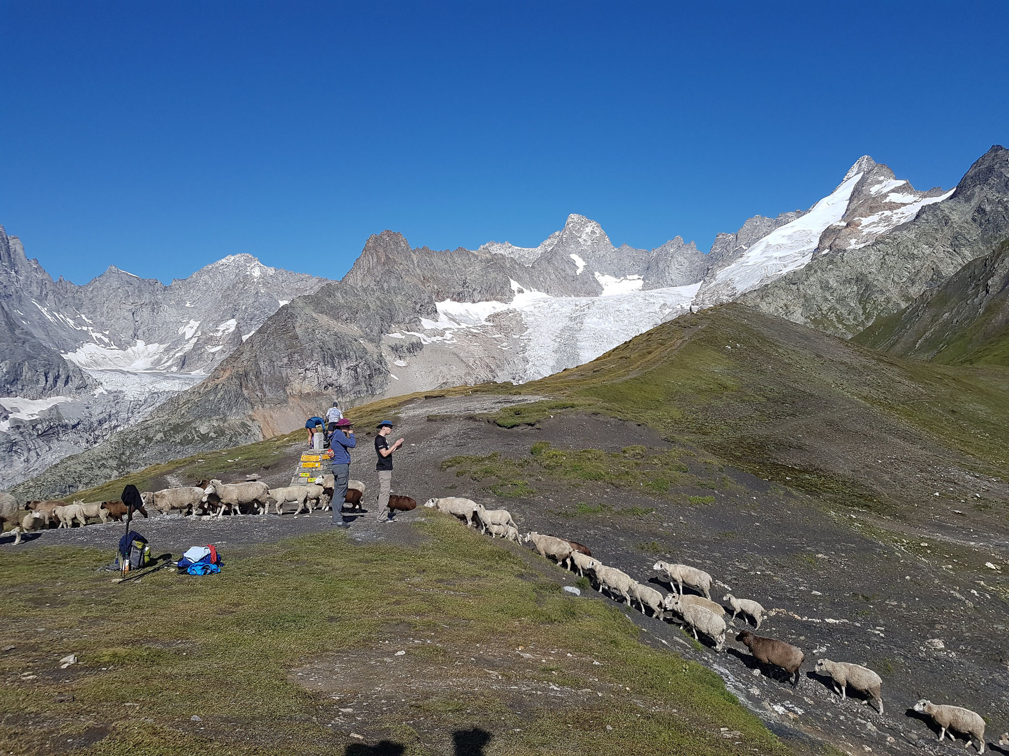
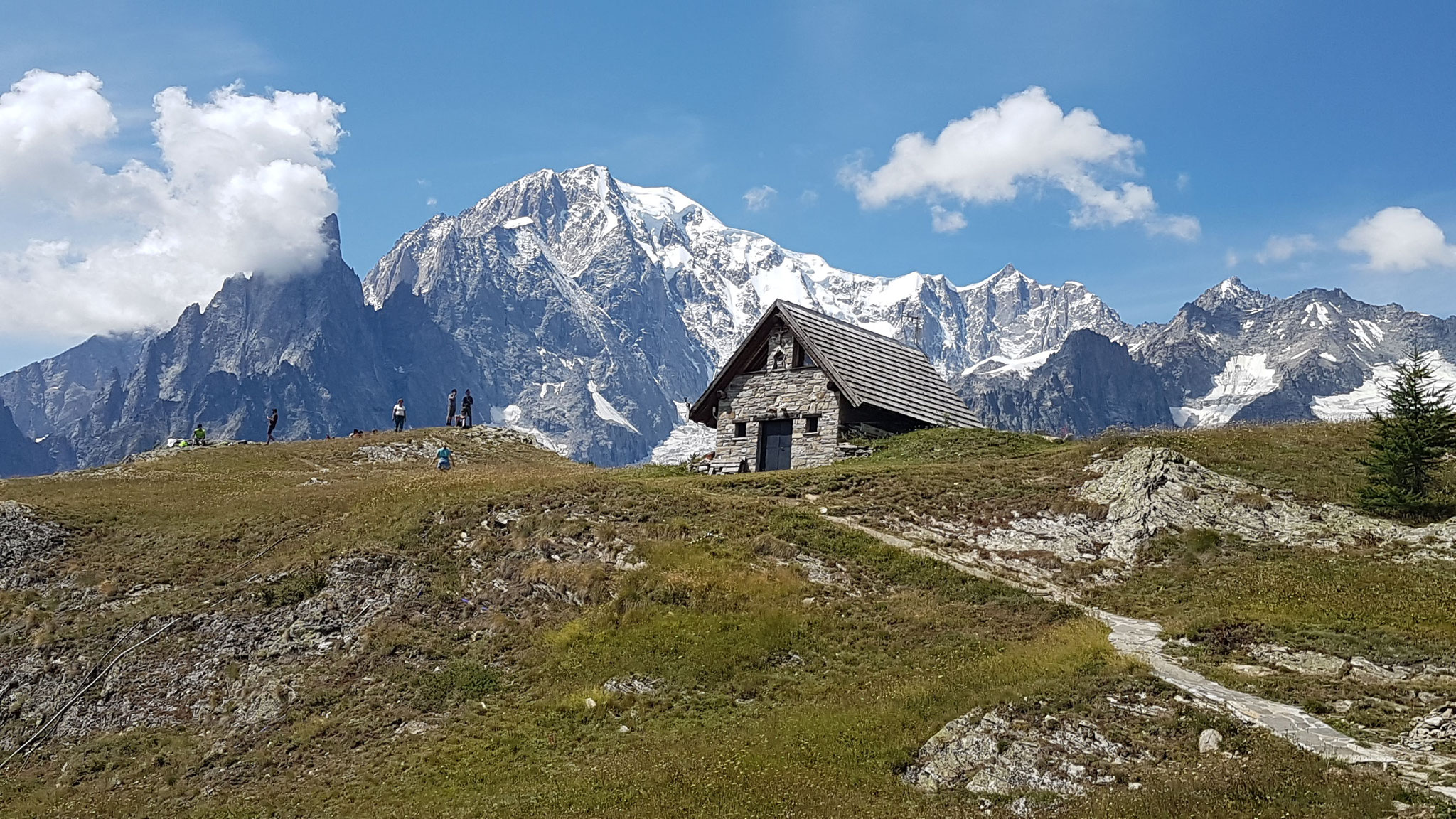
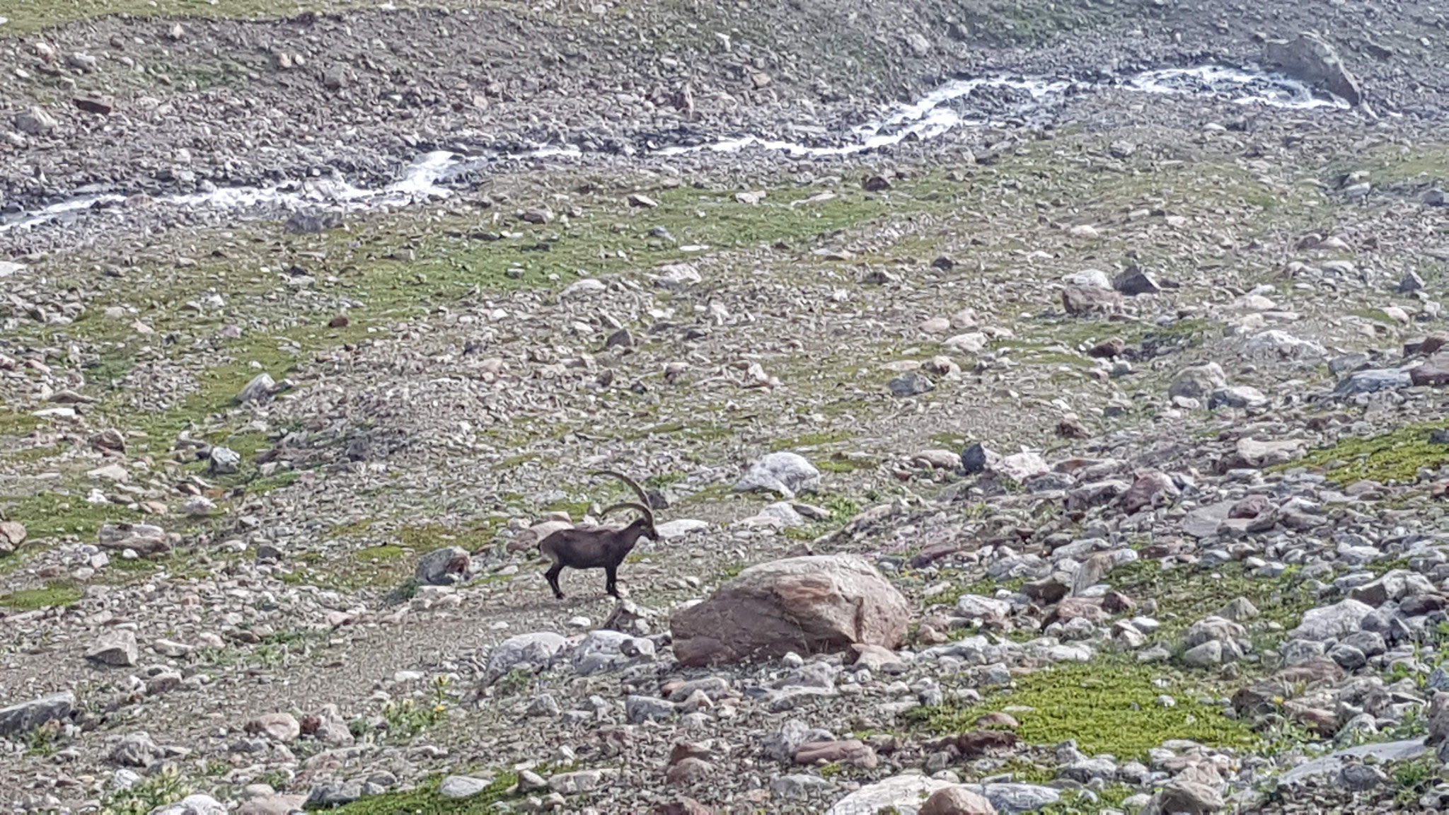
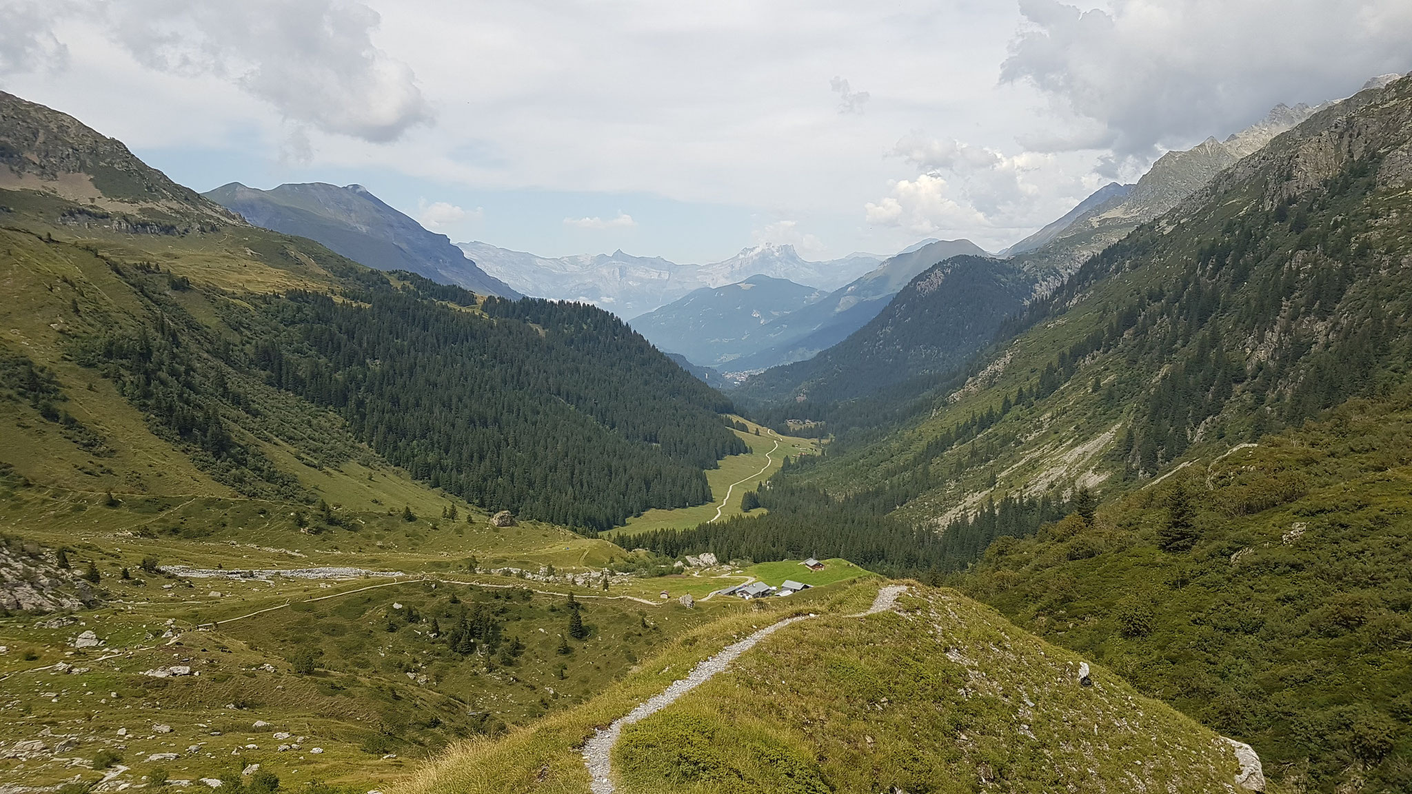
The Val de Veny in the morning was another incredible view. I went over the Col de Seigne observating an old but really impressive ibex.
From there I went down in the Ville des Glaciers and took another alternative route instead of taking the route to les Chapieux I went over the Col des Fours directly to the Col de Croix du
Benhomme.
From there I just went down to Contamines. I skipped the last 16 km to Les Houches and took a a two hitchhikes and a bus back to Chamonix to catch my bus to Genf.
Fazit: The TMB is definitely a great hiking or running experience in whatever pace or comfort you wnat to do it. I can imagine to also hike it in 10 days and enjoying the different huts where you
even can eat and have a breakfast. Or you can do it as a camping/hiking trip but I also have seen including me, running it and do it as a mix of bivy and hut staying.
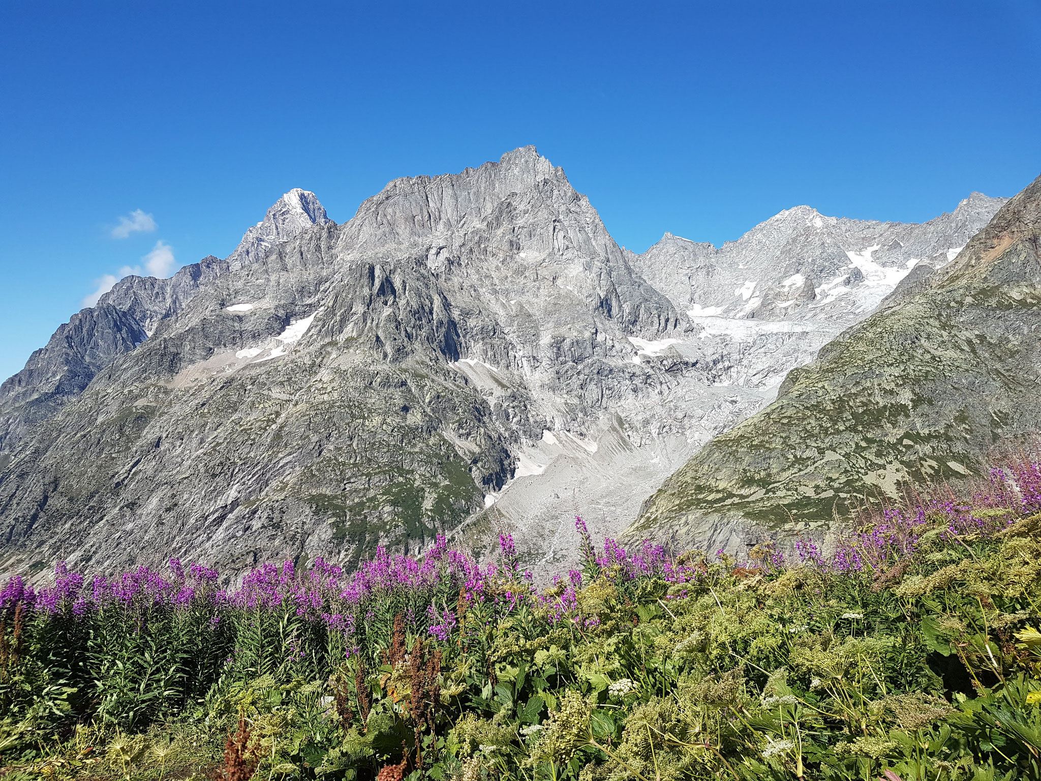
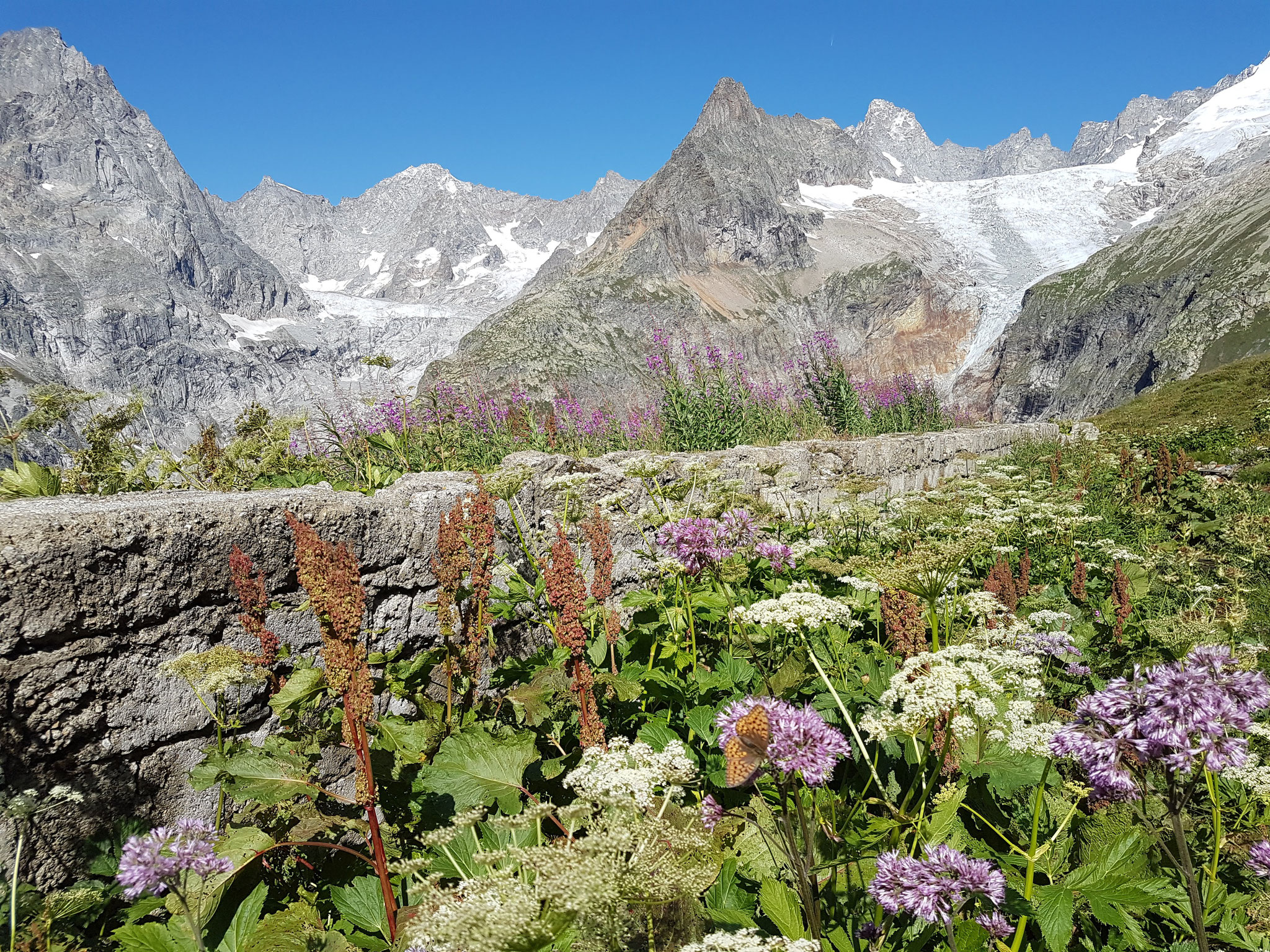
It's one of Europes jewels and truly an outdoor paradise and even it's pretty crowded during the day, you can hike almost alone and feel lost a few times between or early in the morning or late
in the evening.
Whereelse do you have the chance to be in three different countries in three days, alsways enjoying a fantastic view on a majestic panorama.
Personally I have to admit, that I was not completely motivated and also not in a really good shape for the run. It was for sure a good self-experience but it would have been more fun with
friends and I was really happy Johanna joined me the first day and I had the break days - otherwise you're often a lonely runner between the hiking groups who probably build up or get to know
each other in the huts and during the hike.
Good luck and a lot of respect to all the UTMB runners who are doing these course in 48 hours but also to the hikers who are doing it in 10 or more long days.
It's an experience of a lifetime, enjoy and appreciate it!
Stats:
First day:
Chamonix - Champex: 45 ,79 km, 2,998 m elev., 7:47 h moving time, 16:24 h elapsed time.
Second day:
La Fouly - Courmayeur: 40,76 km, 2,343 m elev., 6:59 h moving time, 10:59 h elapsed time.
Third day:
Courmayeur - Contamines: 45,57 km, 2,253 m elev., 8: 00 h moving time, 11:43 h elapsed time.


Kommentar schreiben